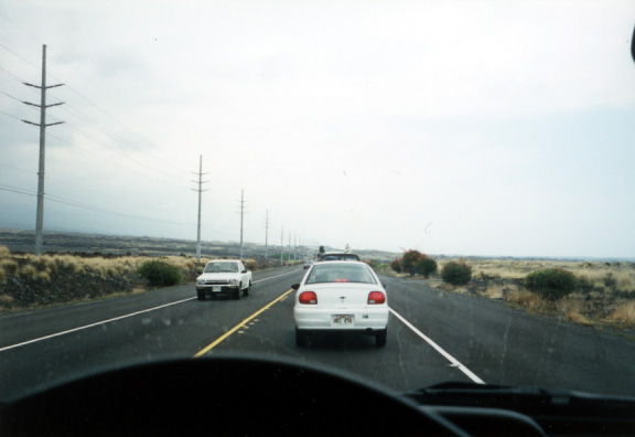
Traffic
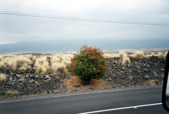
Flowers
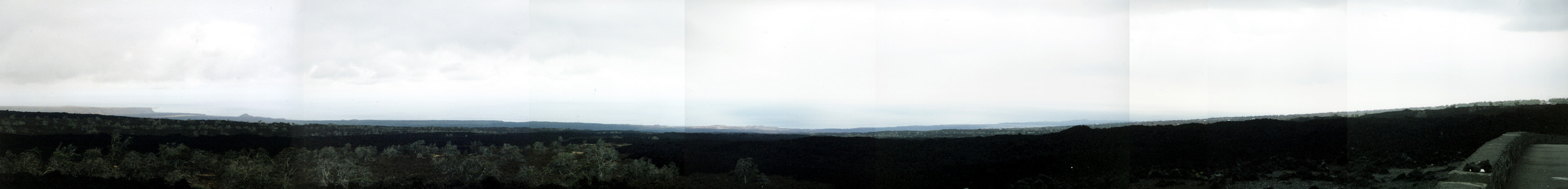
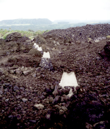
Lava Flow Panorama
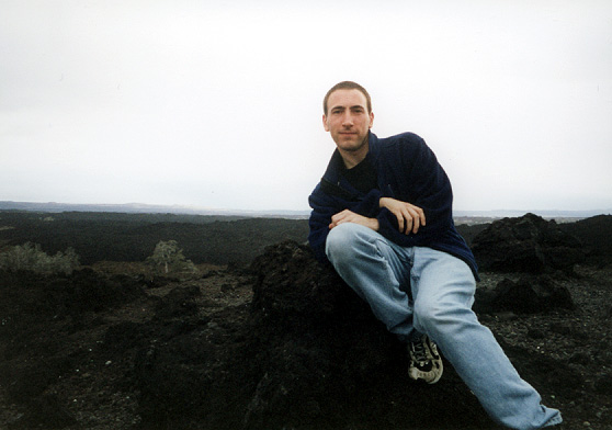
Me on some lava
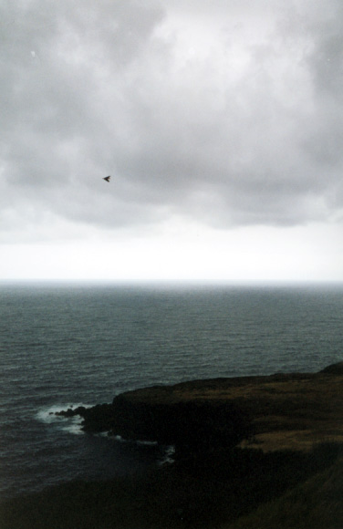
South Point
Remote controlled glider
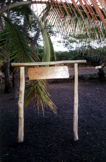
Punalu'u Beach 1
Punalu'u Beach 2
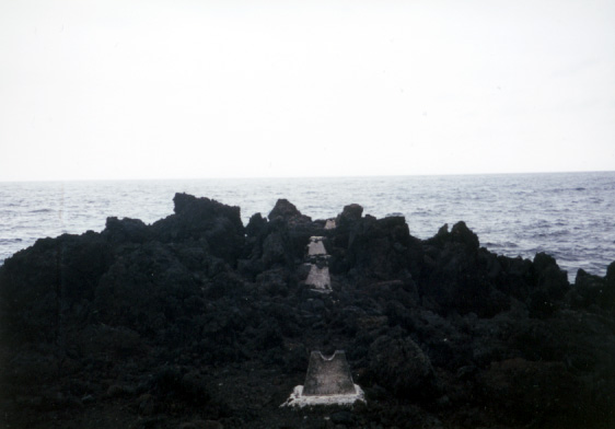
Kane'ele'ele Heiau 1
Kane'ele'ele Heiau 2
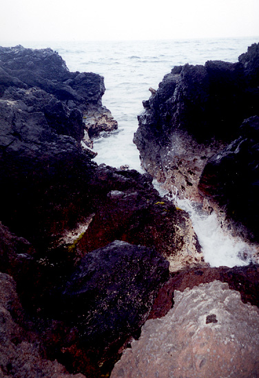
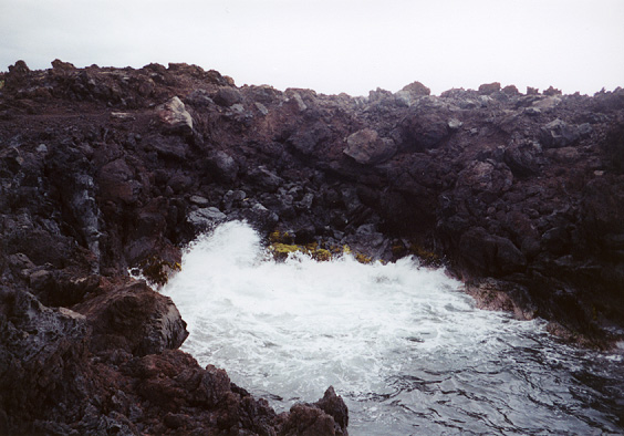
Inlet in lava flow 1
Inlet in lava flow 2
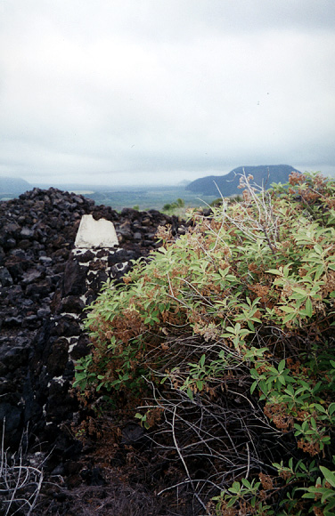
Kane'ele'ele Heiau 3
Kane'ele'ele Heiau 4
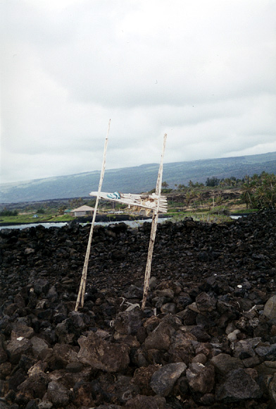
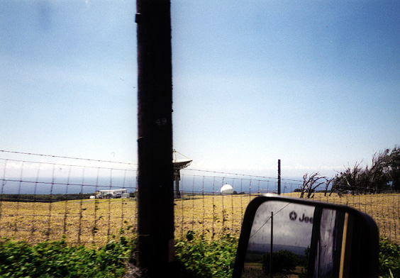
Satellite dish
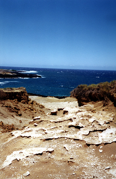
Approaching the green sand beach
Path to the beach with funky rocks
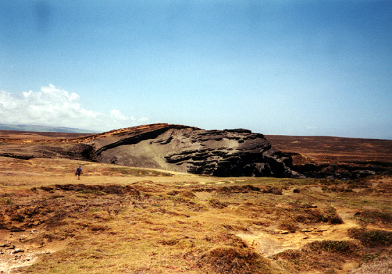
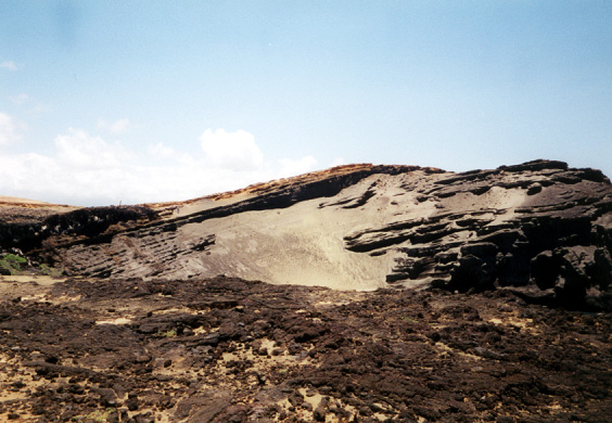
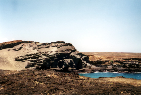
Remnants of cinder cone that made the beach
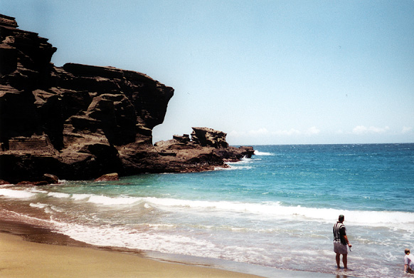
Cinder cone and ocean
Down on the beach
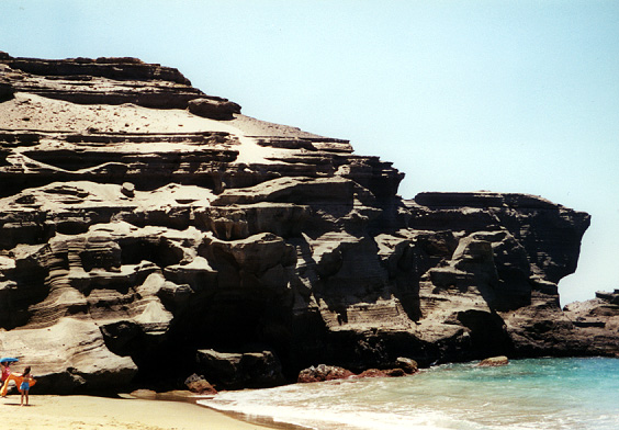
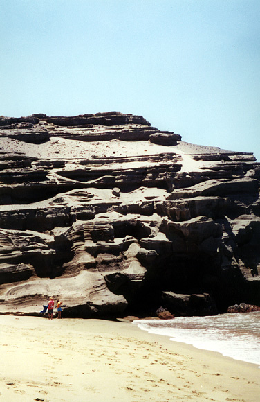
Picture to show scale of beach cliffs
More of beach cliffs
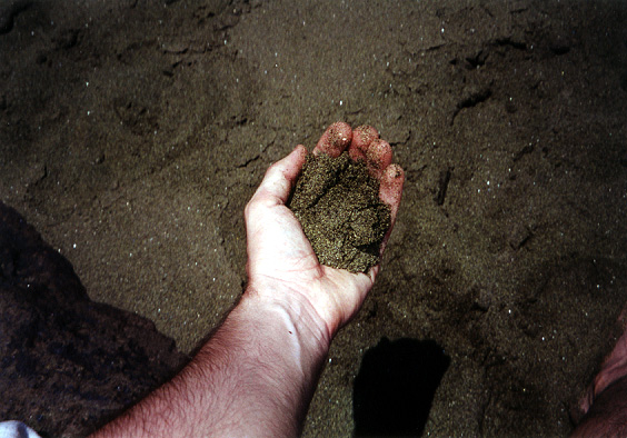
A handful of the green sand
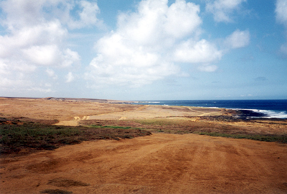
Looking back along trail to green sand beach
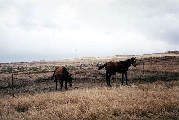
Hawai'ian horses
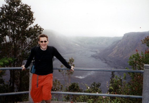
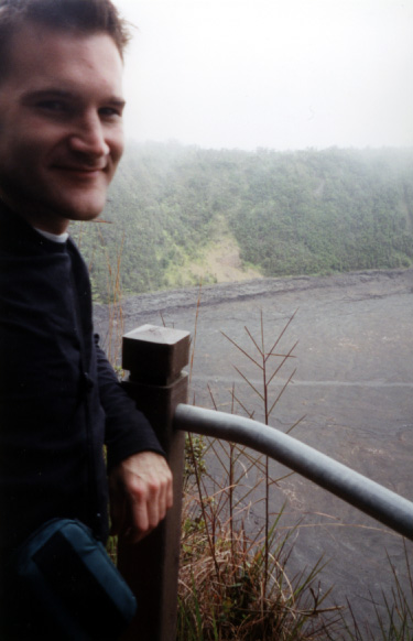
Steve at a Kilauea Iki trail overlook
Like above but different
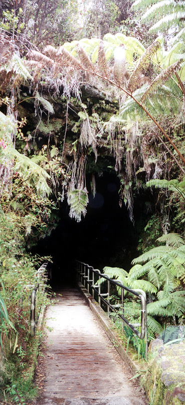
Entrance to Thurston Lava Tube
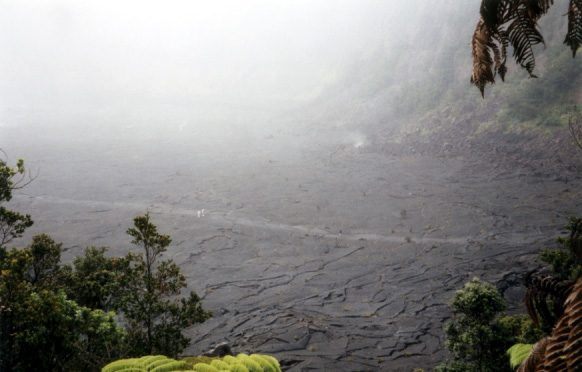
Bird's eye view of trail over 1.5 mile long solidified lava lake that we hiked
Stepping out of forest onto lava lake
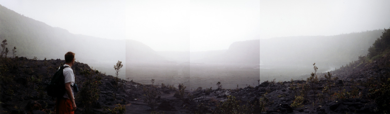
Panorama of misty lava lake
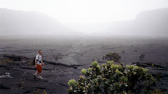
Steve charging ahead out onto the lava
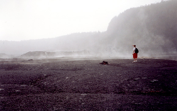
Steve scouting ahead as mist rises from lava lake
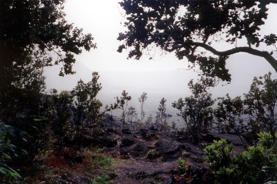
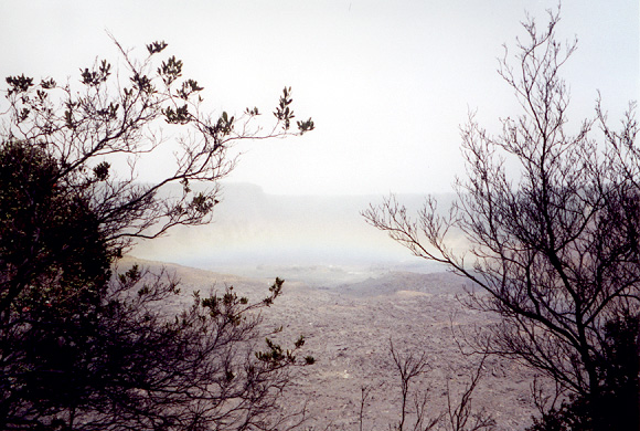
Looking back at rainbow over lava lake we just hiked
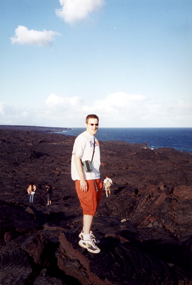
Steve standing on the lava flow that covered Chain of Craters Road (5-6 miles from where he's standing is the active flowing lava)
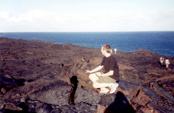
Me contemplating the lava flow
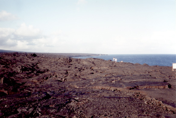
Looking out along the flow
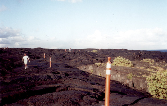
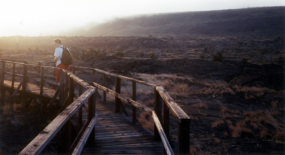
The beginning of the short marked path leading from the end of Chain of Craters Road
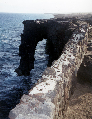
A giant sea arch near the end of Chain of Craters Road
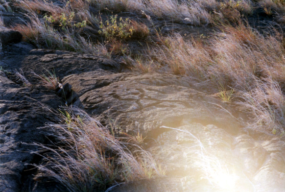
Pu'u Loa Petroglyph field (not really enough contrast in this one to see the petroglyph very well, but it's on the rock)
More at the Pu'u Loa Petroglyph field
A better shot of one of the petroglyphs
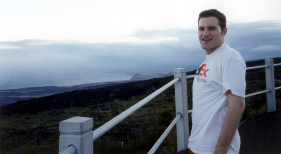
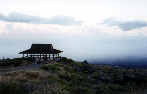
Steve at the Kealakomo Lookout
More at Kealakomo Lookout
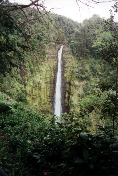
A 400+' waterfall at Akaka Falls State Park
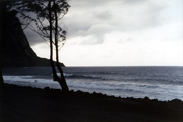
On the black sand beach at the mouth of Waipio Valley
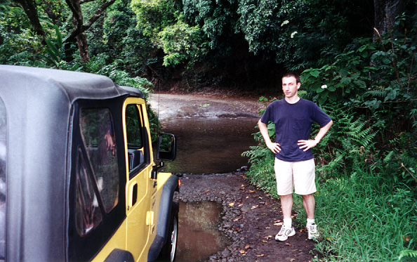
Me standing next to our Jeep, with one of the few little streams we drove through in the background
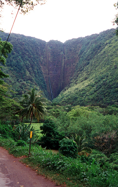
Hiilawe Falls, a 1200' waterfall that feeds the stream in Waipio Valley
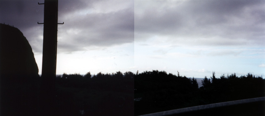
A dark panorama of Waipio Valley taken from the Jeep as we drove up and out of the valley
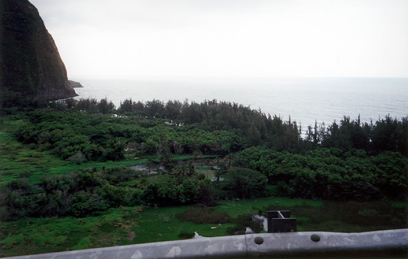
A better shot looking down at the mouth of the valley from the road
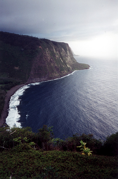
Good shot of the black sand beach and one side of the valley taken from the lookout at the top of the southern side
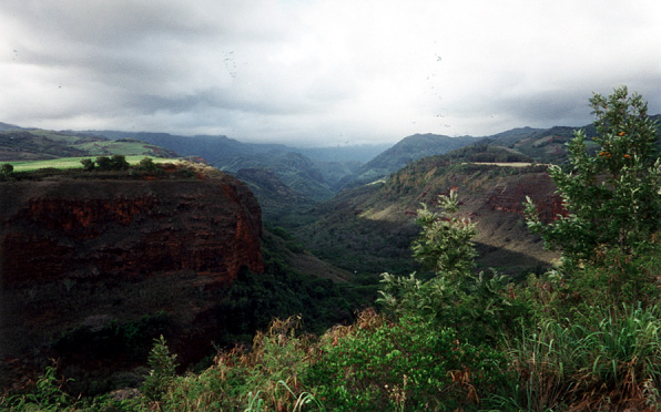
View from the road on Kauai, looking up Hanapepe Valley
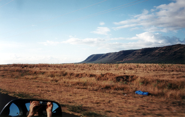
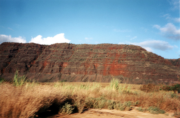
Looking across huge suger cane fields at the beginning of the Na Pali cliff on Kauai
We drove through ~5 miles of these fields on a dirt road to get to Polihale beach at Polihale State Park
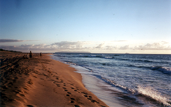
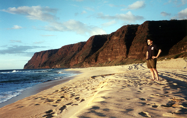
It was worth the bumpy ride, though, for views like this! On the horizon you can see Ni'ihau, the "forbidden" island, on the left, and Kehua on the right
As the tour book would say, this beautiful, pristine white sand beach stretches for two miles and ends in the amazing Na Pali cliffs
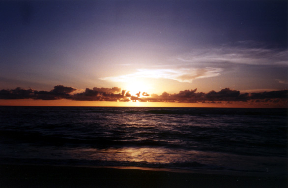
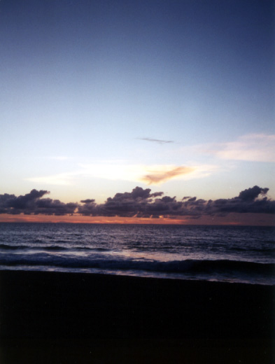
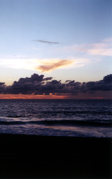
This beach is also just about the westernmost point in the US, and is an awesome place to catch the sunset
A terrible picture of a little crab that you really can't even see (if only my camera could focus on things 6"-2' away!)
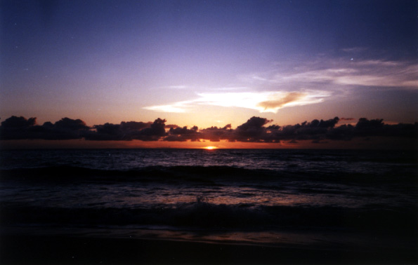
More sunset, it was pretty breathtaking so I tried to get a bunch of pictures
More sunset
Last one
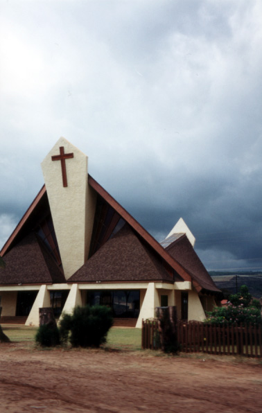
A neat looking church that we drove past
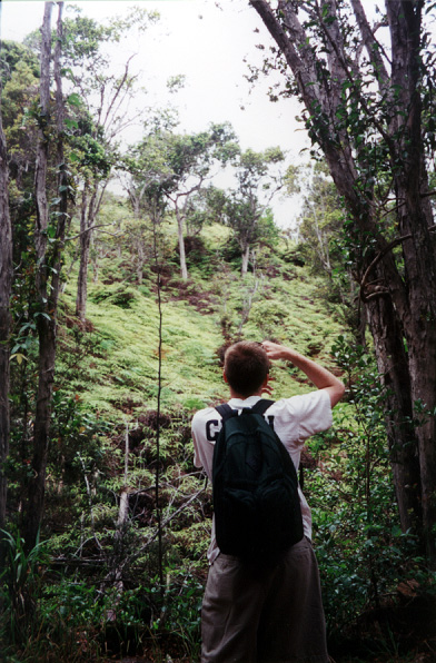
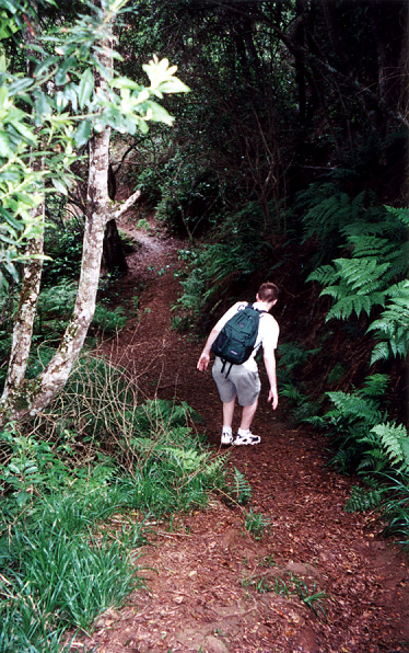
Steve taking a picture of the foliage along the Ditch Trail we hiked in Koke'e State Park
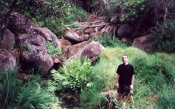
Me in front of some boulders along the trail
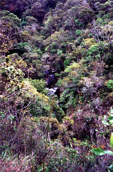
Looking down the valley at the stream below
Steve edging his way down a slippery slope
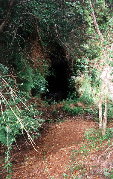
A little stream flowing near an opening onto a bigger underground stream
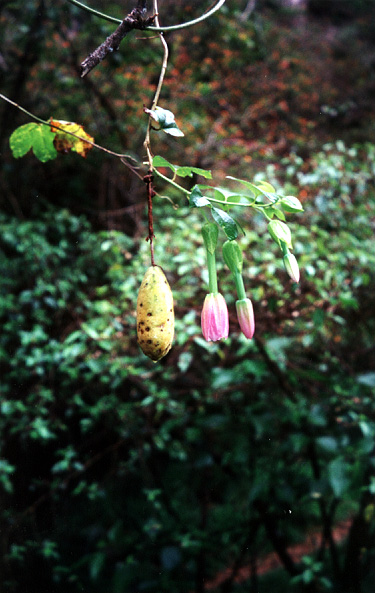
Some strange fruit and flowers hanging from a tree branch
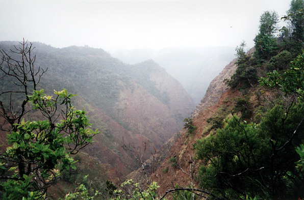
The valley as it became enshrouded in clouds
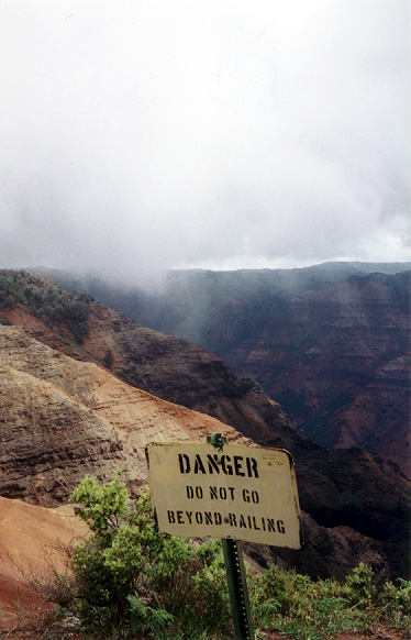
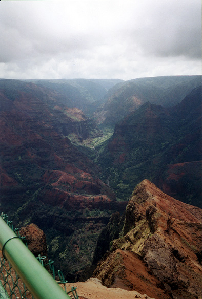
At the Waimea Canyon lookouts (Waimea Canyon is often called the "Grand Canyon of the Pacific")
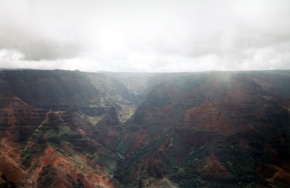
Another stunning view of Waimea Canyon
A third amazing view of beautiful Waimea Canyon
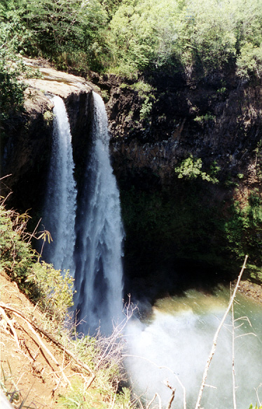
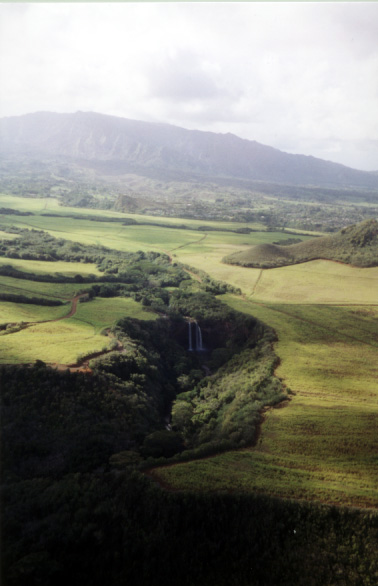
Gorgeous twin 80' Wailua Falls
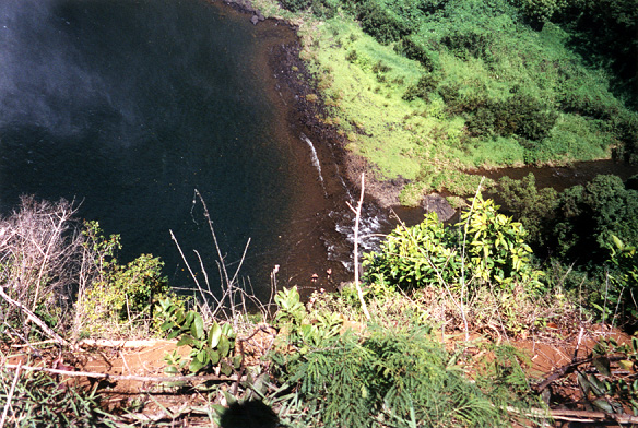
Looking down at some tiny little people swimming in the pool at the bottom of Wailua Falls
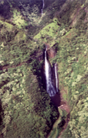
A blurry shot of the waterfall from Jurassic Park (no, I don't remember it either...) taken during our helicopter tour of Kaua'i
An aerial view of Polihale Beach
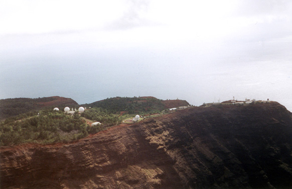
A large Navy listening station for the war games they conduct in the Pacific West f Hawai'i
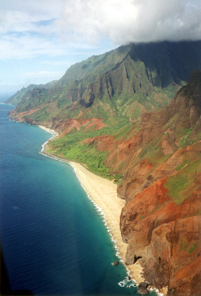
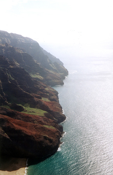
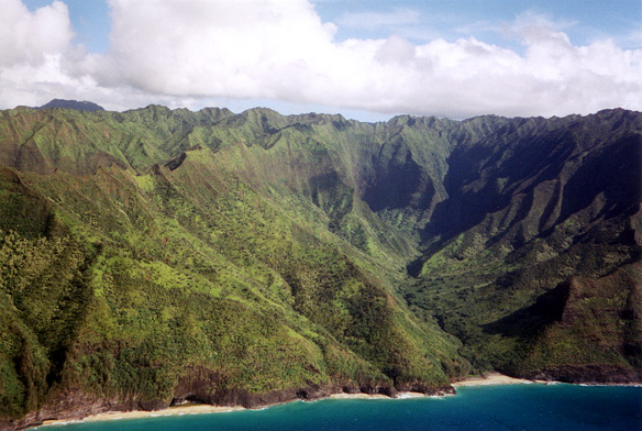
The awe-inspiring Na Pali coastline on Kaua'i
Another aerial shot of the incredible Na Pali coast
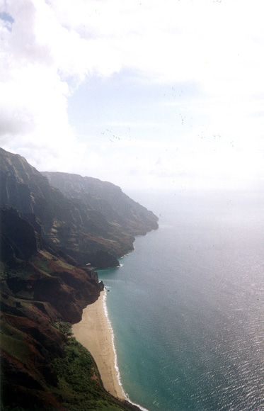
More of the coast and some of one of the many beachs along the coast that are only accesible by water
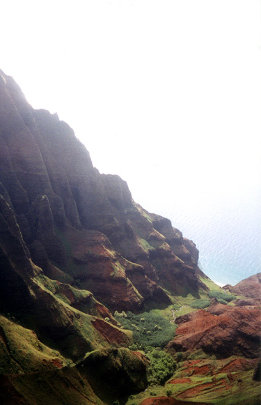
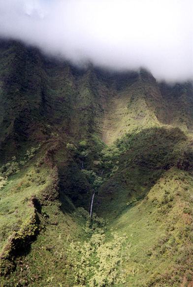
Na Pali means "Green Cliffs" and you can see why here (you can also see one of the many waterfalls that come and go on Kaua'i with every day's rain)
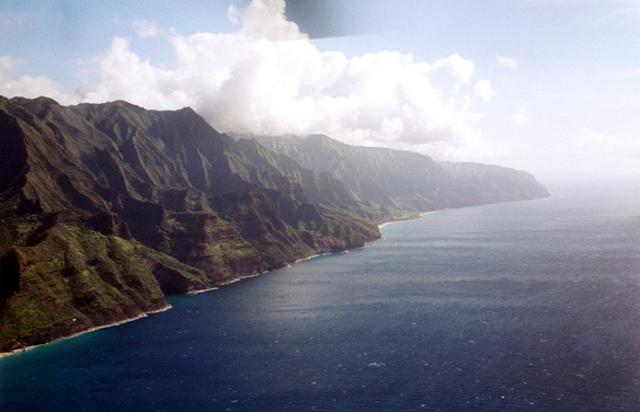
More of the Na Pali coast
The Na Pali coast also has tons of sea caves you can apparently kayak into
Last shot of the Na Pali coast
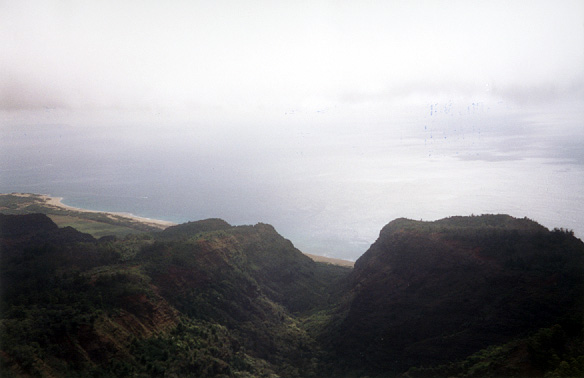
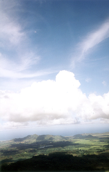
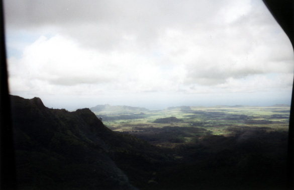
Looking out across the island of Kaua'i (the "Garden Island" as it's called)
Another helicopter tour flying by
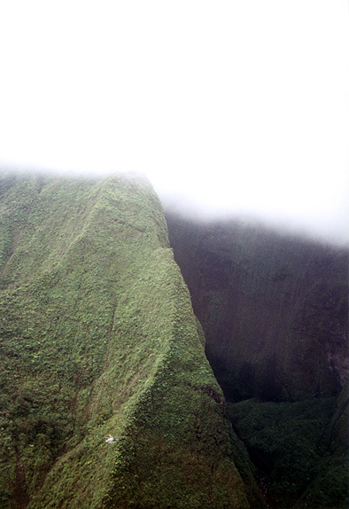
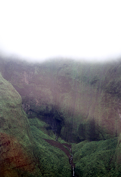
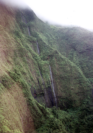
Flying inside the crater of extinct, 5000' tall Wai'ale'ale volcano, where a constant flow of moisture blown in by trade winds causes enough rain to make this the rainiest spot of on (with an average of about 450" of rain a year, even more than Cleveland!)
The craters is also filled with waterfalls
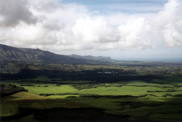
Another broad overview of Kaua'i
Another large view of old suger cane fields
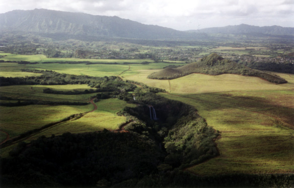
Wailua Falls from the air (this one almost looks fake because of the shadows from the clouds)
Wailua Falls from the air again, as the helicopter was banking
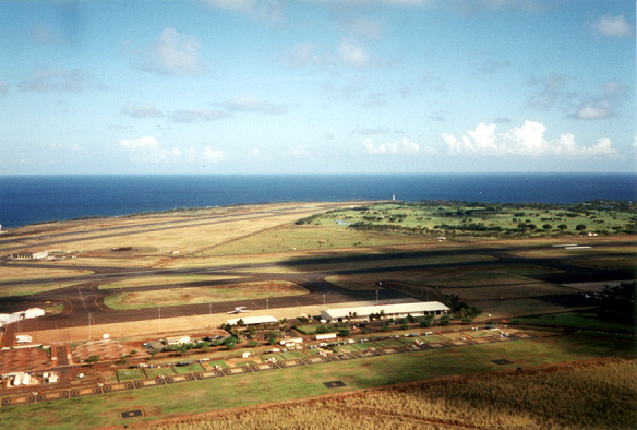
The Kaua'i "International" Airport from the air
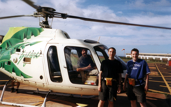
Me and Steve standing outside the copter with our pilot (Dave, I think) giving the "thumbs up!"
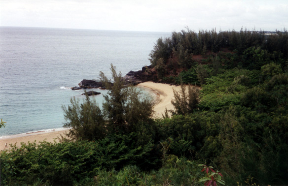
One of the many beaches along the North coast of Kaua'i (I think there were some people out on the lava rocks)
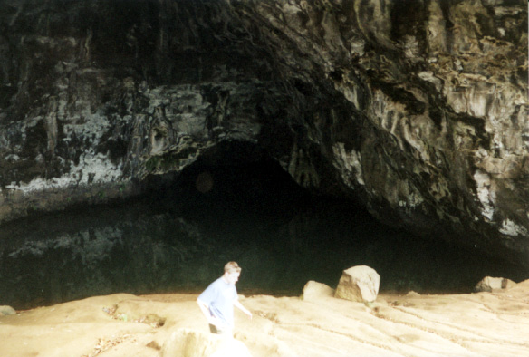
A "wet" cave, on the Northern highway on Kaua'i (I think the water is toxic, so you can't swim in it)
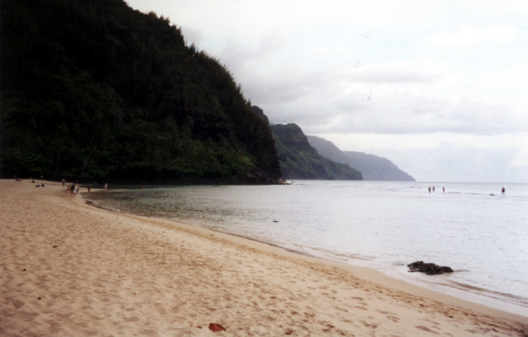
At Ke'e beach, looking south at the Na Pali coast (you can see people standing out on the reef about 30m off the beach)
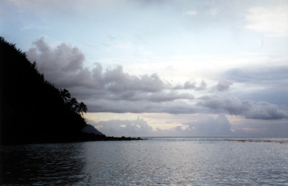
Ke'e beach, getting on towards sunset
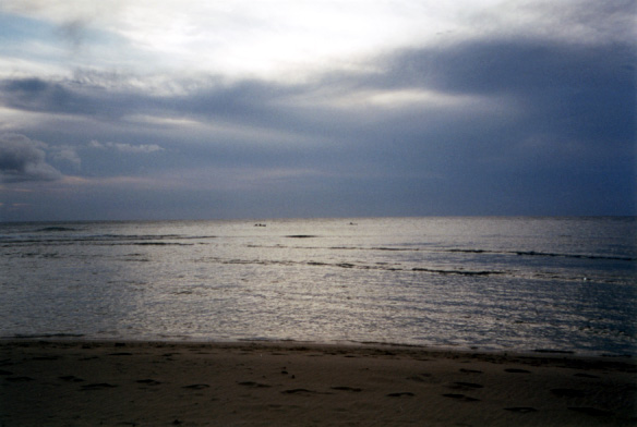
Those little dark things in the water are the flippers of sea turtles (sadly that was as close as I got to them)
A somewhat blurry picture looking back at the cliffs behing Ke'e Beach
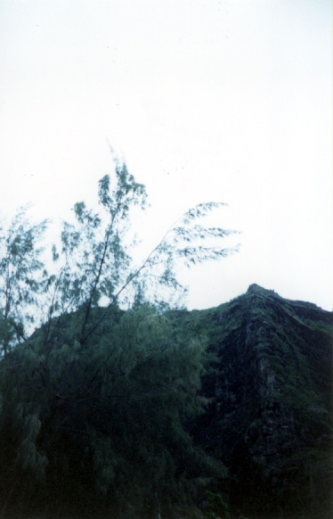
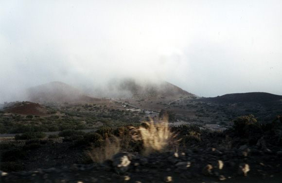
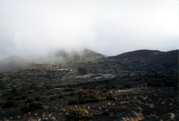
Looking down at the village at 9000' up Mauna Kea where astronomers and telescope technicians stay
The village again (we stopped there for dinner for 30 minutes to acclimate on our way up to the summit)
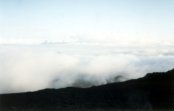
Looking out over the clouds from further up Mauna Kea
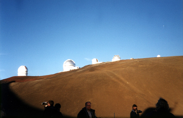
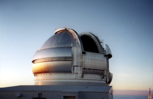
Some of the telescopes
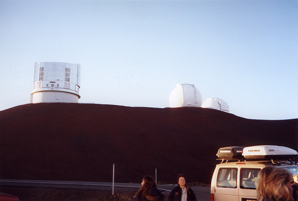
More telescopes
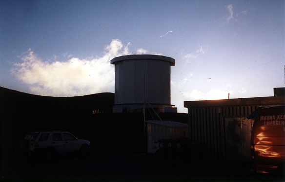
Another telescope
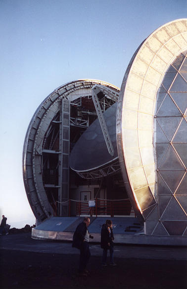
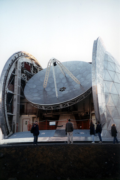
The Cal Tech big-ass telescope, which was open and in use
Steve by the Cal Tech telescope making the sign of the devil because the technicians were blasting Rammstein
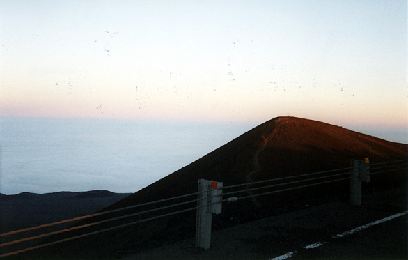
The actual summit of the mountain (about 3' higher than where we were) which is a sacred spot for indigenous Hawai'ians
Another telescope
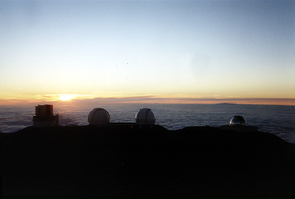
Sunset behind the telescopes
Steve waving goodbye at the airport before leaving Hawai'i
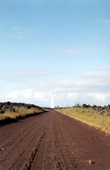
Looking down the road to Cape Kumukahi lighthouse, which was spared from destruction by a lava flow that passed around it on boths sides
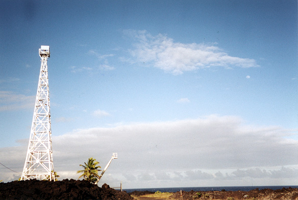
The lighthouse and the early moon
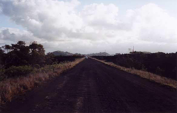
Looking back along the very bumpy road to where I decided to stop torturing the rental car and start torturing my feet instead
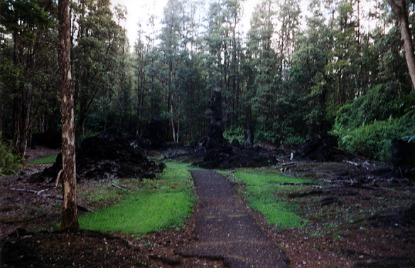
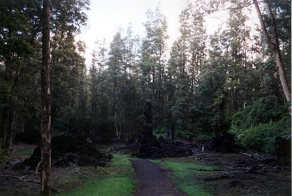
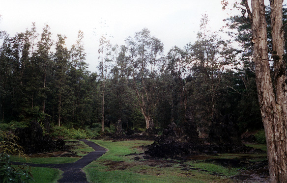
Some of the "lava trees" at Lava Tree State Park
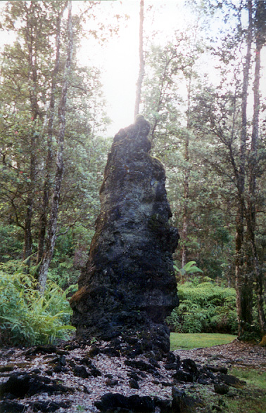
"Lava trees" are hollow pillars of lava formed when lava flows through a forest
The lava flows up around the tree, destroying the tree, and leaving behing a column of lava as the lava cools from the outside in
Some of them, like this one, were >10' high and several feet in diameter